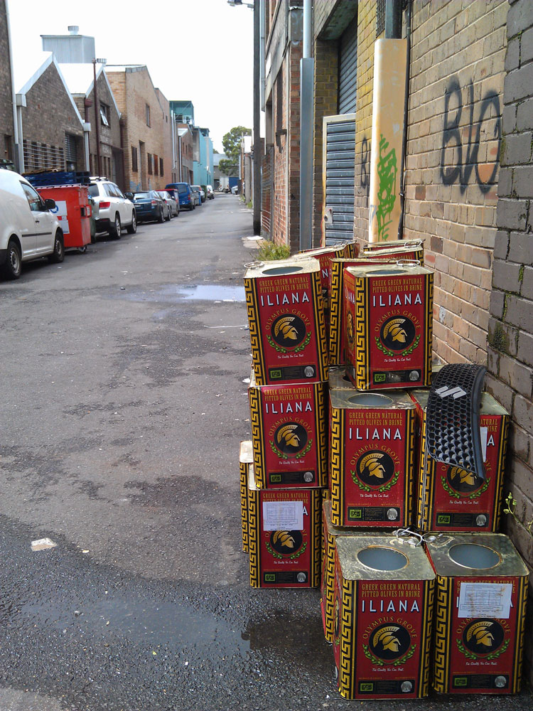
Concrete Creeks. Excursion 7. The tip.

Sunday 19 April 2020
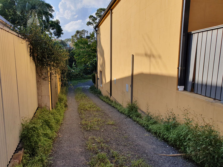
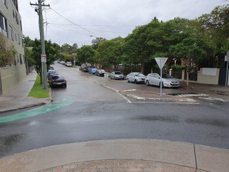
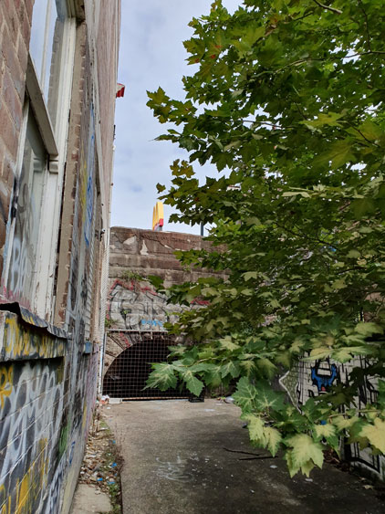
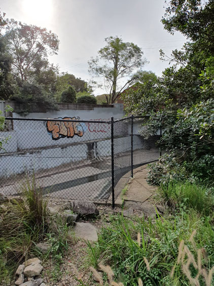
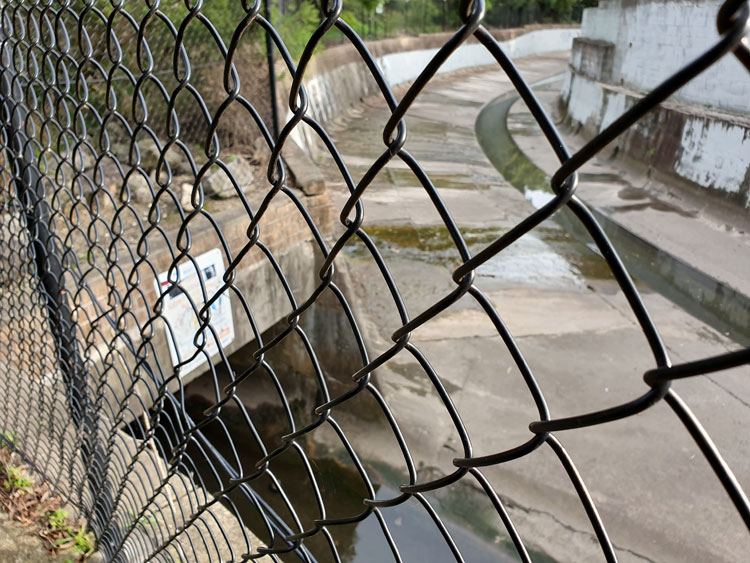
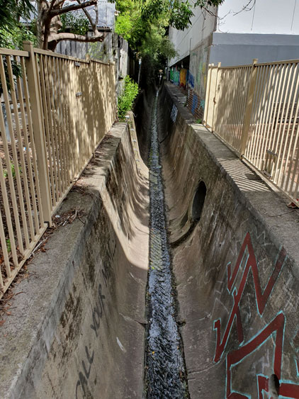
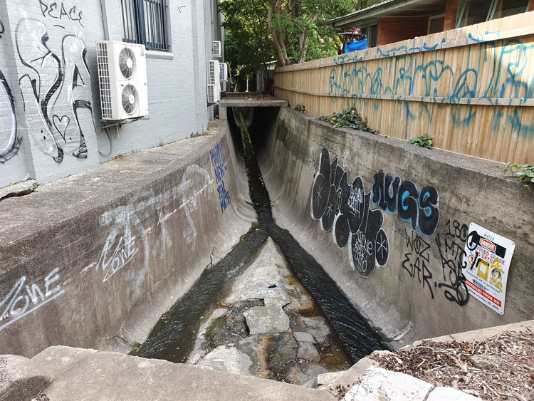
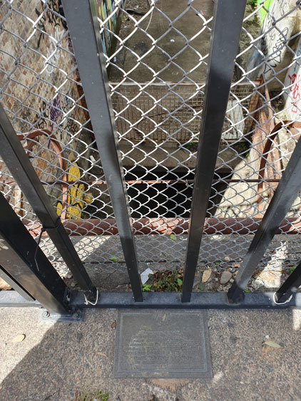
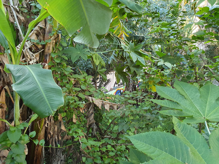
It’s over three weeks since we visited this light industrial triangle between Johnstons Creek and Pyrmont Bridge Road. There have been other excursions in between but now I’m back to find out what happens to the creek beyond the forbidding metal fence where it drops into an open canal behind Water Street.  Just a few neatly kept little houses remain here, tucked between hulking factories and warehouses, and we have come on a Sunday hoping to avoid large trucks squeezing into delivery bays. I walk down a driveway between two houses in Water Street and find that it opens onto a gravelled space bounded on three sides by buildings and on the fourth by a thick jungle of banana trees, castor oil plants, convolvulus and asthma weed. With no machete available I can only peer down the steep slope for glimpses of the canal wall, recognisable by its symbiotic graffiti.
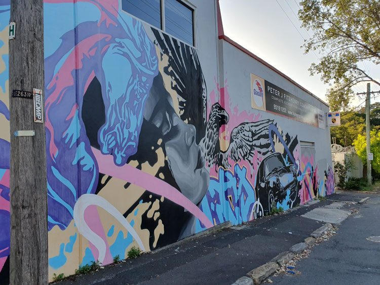
Frustrated by the banana jungle we move east to a wider industrial street that leads directly down to the canal. I have never been on Chester Street before but later I will read that there was once a household garbage tip amongst the houses on this side of Johnstons Creek. It was the source of much friction between the adjoining boroughs of Camperdown and Annandale in the late 1800s. For fifteen years countless  newspaper column inches were taken up with reports of council meetings and letters to the editor on the subject of the Camperdown tip, whose ‘deadly effluvia’ made the creek filthy and ‘endangered the lives of the residents of North Annandale’. There are no houses here now and no tip. Instead there is a motor repair business with a wild piece of wall art.
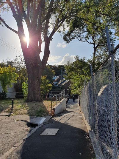
We walk down the hill to a newly-built footbridge over the canal. On the other side of the dip the street climbs up between the Federation houses of re-gentrified Annandale.
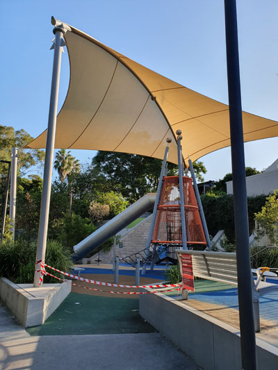
Everything here looks new, but the two playgrounds  are roped off to prevent children from disobeying social distancing rules. This tiny canalside reserve is called ‘Douglas Grant Memorial Park’ in honour of an Aboriginal man whose original name was Ng:tja. The survivor of a massacre, in 1887 he was taken as a toddler from his North Queensland home thousands of kilometres away and brought up in Annandale as a member of his captor’s family. His story is told on two plaques.  It does not end well.
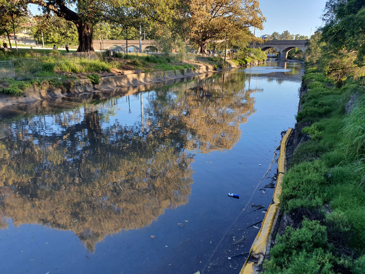
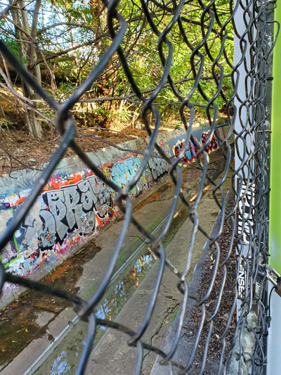
By taking a short walk along where this narrow park skirts a series of backyard fences, I can look across to the place where I had earlier tried bush-bashing.  The clear band of water that I couldn’t see from the other side reflects the sky, but the graffiti is old and dilapidated, as if the renovation of the area has made the canal too public for spray painters.
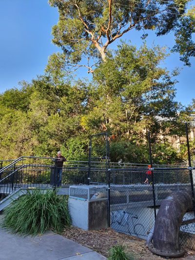
This nook in Annandale is a revelation to me. But not to locals of course. Not the cyclists and joggers intermittently crossing the bridge. The two young men casually shooting a basketball. The squealing children doing wheelies on their scooters. Nor the three teenagers sitting at a picnic table and idly chatting not quite 1.5 metres apart.
Concrete Creeks. Excursion 6. The source.

Friday 10 April 2020

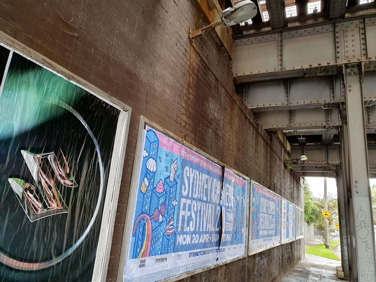
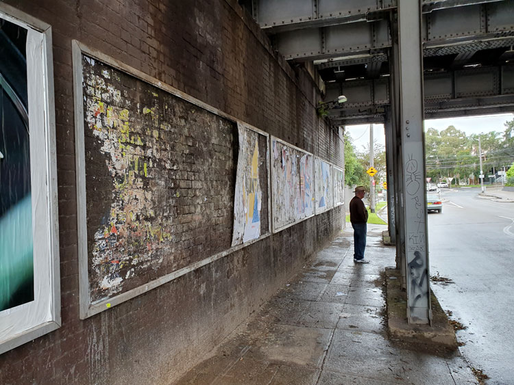
It is raining lightly and the urban currawongs are going joyously berserk as we set off. Having visited the mouth of Johnstons Creek we are now looking closer to home for its source, guided by an 1887 map of Sydney suburbs. We begin at the railway underpass in Liberty Street, Enmore, with its shredded posters. The Man Who Walks Ahead watches two bill posters posting on the opposite wall.

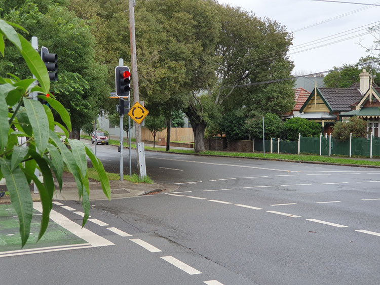
Crossing to the nearby roundabout I can see the spot that the map indicates as the beginning of the creek. It’s in a dip of what must have been a soggy paddock but is now Railway Avenue.

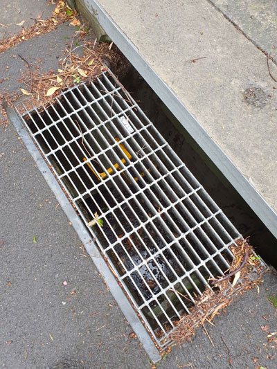
Tracing the creek from its source now becomes a matter of following the lie of the land and peering down grates in the roads to deep stormwater drains with yellow ladder rungs and sky glinting off water at the bottom.

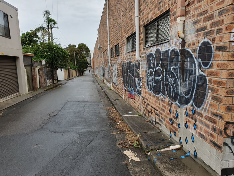
We come to a corner where we can look down Salisbury Road. In the dip there is the paling fence that screens off Johnstons Creek where it modestly emerges from underground and continues its journey cosseted by an open air canal. But we have been there before so instead turn up the hill to imagine how rainwater runs above and below ground down towards the concrete creek.  In a back lane a piece of wall-and-pavement graffiti helpfully depicts this process for us.

We get suspicious glances from people sipping at paper cups while accompanying their raincoated children out for a scooter ride. At the end of the lane is a little café where customers queue obediently for their permitted take-way coffee. 

Our long walk has taken us through corner country where four suburbs meet. As we circle back to our starting point we find that those bill posters have renovated both sides of the underpass.

Concrete Creeks. Excursion 5. The sunny park.

Saturday 4 April 2020

Impatient to see how the story ends, today I have leapt ahead to Glebe Foreshore Parkland. After its containment in concrete drains and stone canals, this is where Johnstons Creek is freed into Rozelle Bay, an arm of Sydney Harbour. Along this last stretch it almost looks like a real creek as it emerges from under the rail viaduct. But Sydney Water is in the process of further ‘naturalising’ it, with plans to create a natural planted stormwater system and increase the salt marsh around the creek.

It was not a good idea to come on a sunny Saturday. Social distancing is hard to maintain. Just last week police closed Bondi Beach because of the hordes gathered there to soak up the rays. No police in sight at Glebe Foreshore Parkland but, while not as crowded as Bondi, it has drawn many fresh air seekers. They ride their bikes, lounge at picnics, walk, jog, push past on narrow bridges, and watch their dogs attack other people’s dogs.

We decide against trying to cross a busy footbridge but peek through the safety fencing at the incipient salt marsh before scarpering back to the car.

Concrete Creeks. Excursion 4. Deep water.

Friday 27 March 2020

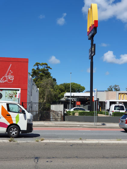
For the fourth of our piecemeal visits to Johnstons Creek we return to Parramatta Road and plunge into the narrow streets on the northern side where a light industrial triangle is squeezed between the creek and Pyrmont Bridge Road. The streets slope down to a concrete pathway that covers this section of the canal. We turn left and find ourselves at the sandstone bridge on Parramatta Road, where thousands of cars pass Stanmore McDonald’s every day. The creek traces a silvery line through the shadows under the road.

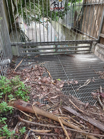
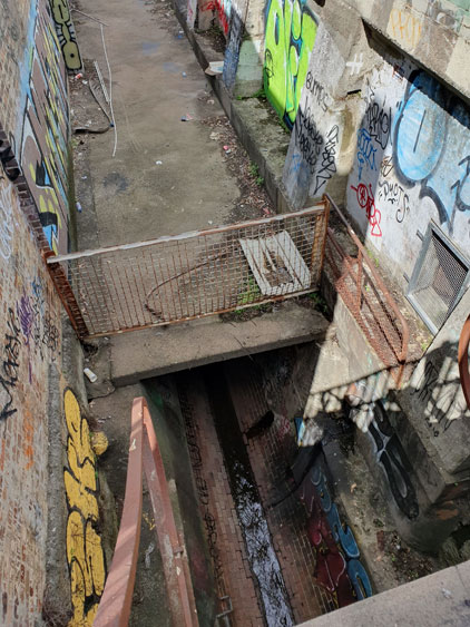
Turning around to follow the flow of the creek we walk between the backs of properties, respectable Victorian houses on one side, factories and derelict houses on the other. The path comes to an abrupt end at a metal grate and fence. Beyond is a deep channel of coolness where we can hear the creek falling. A bird calls from somewhere in the overhanging shrubbery.

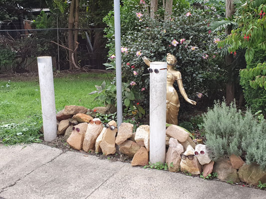
We scramble up into a grassy area at the foot of Water Street. I will later read a lengthy real estate advertisement from 1850, when the farm here was subdivided into housing allotments. This grassy area is described as “a RESERVED WATERING PLACE at deep water on Johnstone’s Creek [that] will add materially to the comfort of the occupants”. There are still some residences in Water Street as well as warehouses and the last house before the reserve has a small but unusual garden.

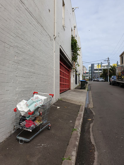
Walking back to the car I spot an abandoned shopping trolley and for a moment think I have come upon a cache of toilet paper.  But no, the cartload only consists of styrofoam packaging cylinders.

Concrete Creeks. Excursion 3. A repro bush gully.

Tuesday 24 March 2020

Near the middle of its course, Johnstons Creek is joined by its main tributary, Orphan School Creek, and that junction is the destination of today’s excursion. There is a small reserve here, strewn with orange rental bikes, and we are able to peer through wire mesh fencing at the water tricking from a large rectangular opening in the side of the canal.

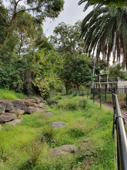
Orphan School Creek runs underground these days, but for some distance its above-ground course has been restored as a dry creek gully and a facsimile of the original eucalyptus forest has been attempted with native plantings. I know this now, because there are information signs at spots along the paths that wind down to the gully from surrounding residential areas in Forest Lodge. 

At this stage everyone is confused by the mixed messages about coronavirus precautions emanating from different levels of government. The toilet paper panic is well underway. Social distancing is advised but not mandatory. Keeping children home from school is advised but not mandatory. So it’s perhaps not surprising that late on this autumn afternoon the reserve is populated by people exercising as if there were no tomorrow. Chatty groups of women power stride together.  Men walk enormous dogs. Bike riders weave amongst them.

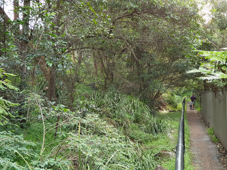
On a narrow path bounded by back walls on one side and a wire fence on the other, a woman shadows us at a distance. I am dawdling and taking photos but she won’t pass because, she says, there has to be 1.5 metres. Eventually we press ourselves into a large shrub and she goes by, but coming towards her is a family group of parents and children all on bikes. She is obliged pass between them and I wonder why she chose to take this route for her walk, rather than the wider back streets nearby.

Meanwhile, we are being bitten by mosquitoes and retreat, resolving to follow more of Orphan School Creek some other time.

Concrete Creeks. Excursion 2. Where waters meet.

Saturday 21 March 2020

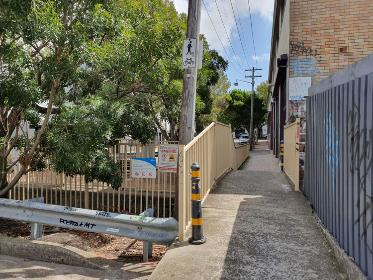
I have moved a short way upstream for today’s visit to Johnstons Creek. After inspecting the canal where it passes deep under Parramatta Road I am tracing it backwards and find that the next available viewing point is in a Stanmore street cut in half by the canal. A pedestrian bridge joins the two halves. The concrete waterway is flanked by factory walls on one side and backyard gardens on the other, whose overhanging trees hide shady secrets. ‘Call Your Mum’, urges a graffiti message. We set off to find what’s around the corner further upstream.

The streets in this commercial/industrial area are hot and lonely as if it were a Sunday afternoon but we are distracted by a café, open perhaps for one last day. Cautiously practising our new social distancing skills we order then sit out in a courtyard surrounded by closed studios and workshops that barricade us from the canal.

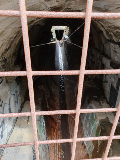
One last push on to Salisbury Road and I find what I’m looking for. This is where Johnstons Creek emerges from beneath its permanent suburban cover.  Surprisingly there’s another large drain that joins it. It’s time to go home and study old maps to find the sources of the creek and this underground tributary. They don’t always form such a lazy trickle. I’m later told that trainee volunteers with the local SES are brought here on ‘flooding hot spot tours’.

This week I was reminded that Sydney’s supreme suburban explorer, Vanessa Berry, has already tracked Johnstons Creek on her Mirror Sydney blog. Different eyes. We will compare notes next time we meet, whenever that might be. ‘Happy New Year Mate’ wishes another graffiti message in blue paint. Anxious strange year is more like it.

Concrete Creeks. Excursion 1. The sandstone bridge.

Thursday 12 March 2020

It is the beginning of social isolation and I have devised a plan that involves, not staying in, but getting out into the customarily deserted streets of suburbia. To keep me exercised and interested, but distanced, I will try tracing the paths of local waterways, most of them now hidden underground or confined to canals that lurk around back lanes. My Journal of the Plague Year will document a watery wander.

I start with Johnstons Creek, a notable watercourse on the inner western fringe of central Sydney.  It is named after Lieutenant George Johnston, who arrived as a marine on the First Fleet in 1788. Within a few years of the colony being established Johnston was granted a parcel of land and this creek formed the eastern boundary of his property.

My first excursion takes me to Parramatta Road, which crosses Johnstons Creek part the way along its course. Peering over a railing I can see the creek still flowing way down in the bottom of its ovoid stormwater canal. Before writing up this journal entry I learn from someone close to me that her graffiti crew used to spray here. But that was many years ago. I doubt there’s anything of hers visible now.

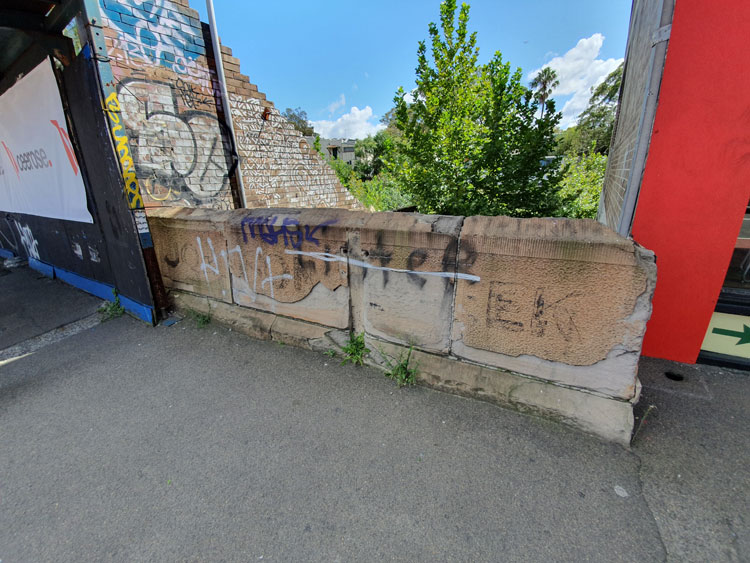
A Bicentennial plaque set into the concrete footpath tells me that a wooden bridge was built here in 1839. There are remnants of a subsequent sandstone bridge on the other side of Parramatta Road. More graffiti, including the name of a well known street artist who’s just recently been charged with sexual assault.

The name

I am researching the history of a nineteenth century row of houses in Sydney’s inner west. It’s not my usual kind of writing gig but it has been interesting following the money. Wealth accumulated in good times by an enterprising immigrant from Yorkshire, shared with his son as a business partner, lost when the son’s extravagant ventures are caught out by a national financial depression.  What’s left is a smattering of properties that have been salvaged for heritage listing by repurposing – gentlemen’s residences divided into flatettes, a wool store fitted out as university outpost campus, a private mansion transformed into a Catholic educational institution.  

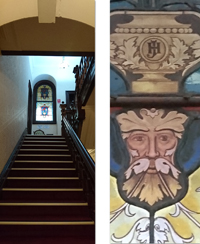
The buildings are notable for the need these colonial nouveau capitalists had to monogram their possessions. The firm’s name is embossed on the wool store – an understandable commercial imperative. But on the gateposts of the father’s 1860s villa his initials AH are stuccoed in botanical calligraphy so elaborate that they are barely legible.


The son’s entwined initials JH in more restrained but authoritative capitals decorate the interior of his opulent 1880s mansion. I can imagine the thrill of self-satisfaction this sleek young mayor experiences as he glimpses the stained glass panel on his way upstairs from the expansive vestibule of his domicile.


Fast forward to the late twentieth century and an upsurge of the monogram for marking property – though more likely someone else’s property or else a piece of public infrastructure. Taggers appropriate territory with marks that are generally illegible except to themselves or to cohorts that matter.

 I came across a graffiti supplies website recently, and this comment from a user:  ‘ I wrote the name test when i was in high school. I liked it cause every time i  saw the word test in a context totally unrelated to graff i creamed a little’.

 Here is the thrill of self-affirmation. This graffitist has gone for ordinariness over illegibility for his tag, and finds satisfaction when he sees,  not only the property he has marked,  but every single item where his moniker ‘test’ happens to appear – books, advertisements, notices, school whiteboards. His mind (and his member) believe that all these base are belong to him.

 At least what you don’t really own and have not mortgaged will not send you bankrupt.

Images by meganix, taken in 2017 in Sydney: Stanmore, Circular Quay, Newtown and Strathfield.

Rainbow politics

 BourkeRainbow_P1020080X_blo

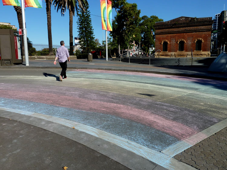
“The removal of the Taylor Square rainbow crossing created an even bigger stir than its original installation. To mark its passing, people attached unofficial rainbow flags to poles in Taylor Square and tied rainbow ribbons to safety fences. But performer and activist James Brechney had a fresh idea for an alternate location that somehow captured the zeitgeist.”

My exquisitely objective article on the history of the DIY Rainbow Crossing is now available to read in the Dictionary of Sydney.

Some time ago I wrote a blog post on the symbolism of pedestrian crossings. It’s here.

PermanentRainbow_IMAG2868

(Photos by meganix, taken in Darlinghurst in 2013 and Summer Hill 2015)

Back lanes

IMAG3524_blog750px

In the inner suburbs of a city that is undergoing renewal and gentrification, some of the last remaining places of grotty charm are the back lanes. This is despite the fact that corrugated iron fences have long since been replaced by roller doors and high brick walls, and showy bougainvilleas hang where once there were vines laden with chokos free for the taking.

In the main street old-style hairdressing salons run by one lady for over fifty years are transformed into dinky diners, but round the back leaky pipes still ooze a permanently green and greasy trickle into the gutter of the rear lane. In side streets, tiny terrace houses are supersized with architect-designed extensions upwards and outwards, but outside the back fence the garbage bins, now made of colour-coded plastic rather than galvanized iron, smell much the same as they always did.

Close to the city centre, civic planners reinvent laneways as pseudo-hipster destinations. Their surfaces are recobbled, their spaces commercialised with coffee cart umbrellas, and their walls redecorated with commissioned art pieces. In suburbs on the urban fringe, some back lanes that were once the rat runs of the dunny man have been spruced up to match the tidy rear ends of new apartment blocks and town houses.

But beyond the reach of the pre-dawn street-washing truck, there are still lanes that resist trendification or homogenisation. Morning strolls down such insalubrious urban remnants reveal evidence of unsanitary night-time activities – broken bottles, a clump of cat fur, a limp condom, a squashed rat, a syringe, a rivulet of piss, a splatter of curry or sweet and sour – fresh or regurgitated, it’s hard to tell the difference.

IMAG3499_blog750

 Amongst this pure grunge though, such lanes can also yield up visual surprises and take-away treasures. There are accidental artworks to admire, in the form of paint spills and rubbish stacks. There are unpotted pot plants with concrete root balls, and illegally dumped junk piles to pick through or kick through for additions to your domestic decor. Or you might collect a milk crate for standing on as you pass through on your way to the Mardi Gras parade. And in old industrial precincts, where owners allow their businesses to run down in the hope of getting rich when the area is rezoned for residential development, there is always the possibility of finding a replica of Duchamp’s Bottle Rack.

The side walls of little old factories and those new brick fortifications on residential properties are perfect canvases for real graffiti and spontaneous wall art. Some pieces stay in place for decades, others are subject to constant renewal in keeping with the revolving door of current issues and social media topics.
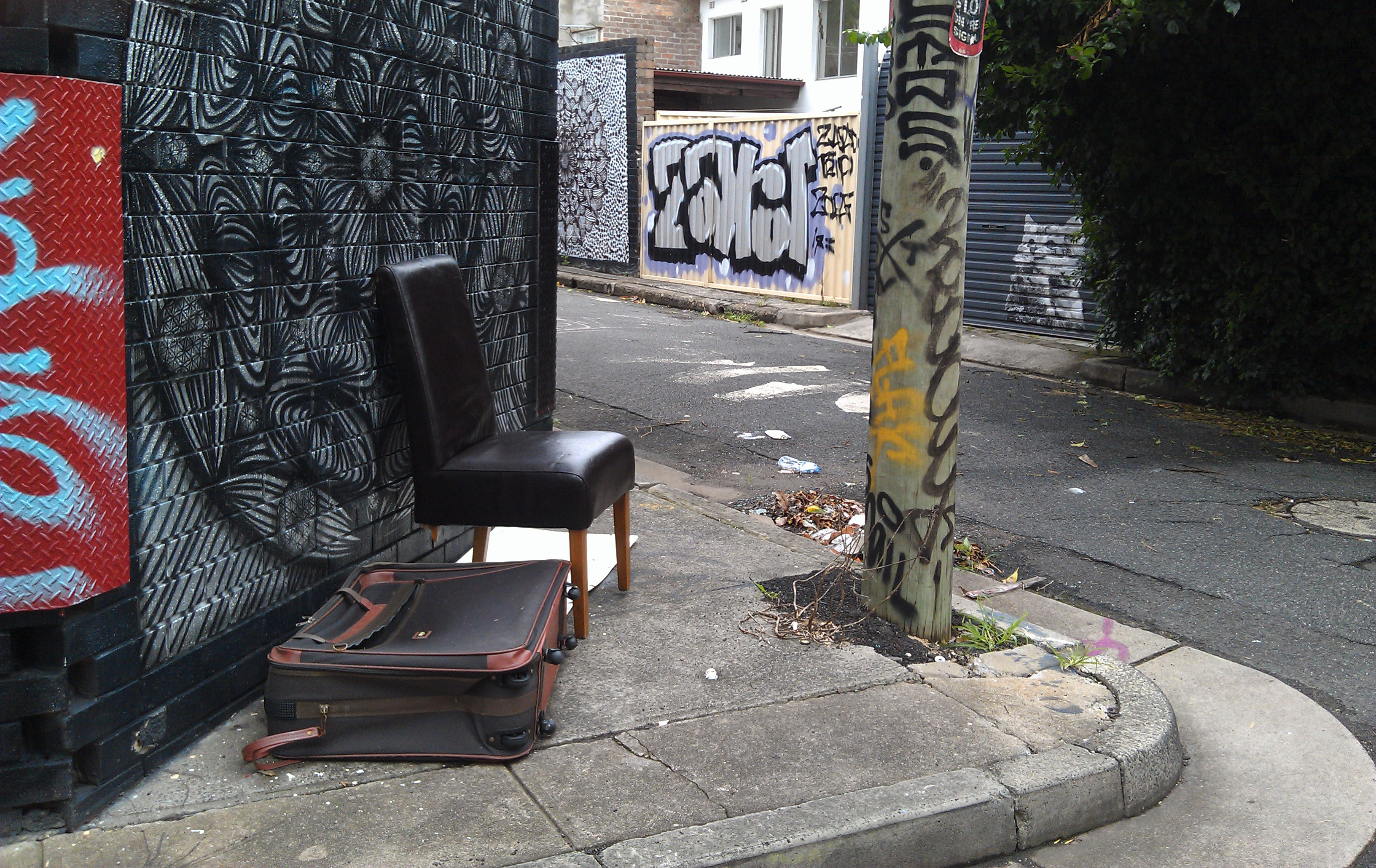
 What all this means is that within our evolving cities there are still recalcitrant places that resist the facadism of new civic planning and design. Behind the scenes, the messiness of back lanes contributes to the urban/suburban landscape in ways that reflect the actual complexity of human lives.

IMAG3530_blog750

(Photos by meganix, taken in Marrickville and Enmore, 2016)


The blog ‘Pavement Graffiti’ was created in 2009. In March 2016 I changed its appearance. Posts written before March 2016 did not handle the change well and so may look a little peculiar.